Routes
How to assess a route's difficulty
Distance, elevation gain, terrain, and available time: how to interpret route information and estimate whether it matches your ability.
Difficulty is measured mainly by total elevation gain: up to 300 m is manageable, while more than 1,000 m requires a high level of fitness. Use the MIDE system to assess environmental hazards and physical effort. Always keep in mind that the slowest person in the group determines how difficult the hike will be.
8 min read · updated September 14, 2026
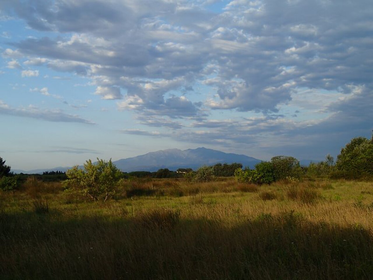
Photo: FloraTrek · CC BY-SA 3.0 · via Wikimedia Commons
“Difficult” does not mean the same thing to everyone, so it is best to look at data rather than adjectives. Four variables account for almost all of a route's difficulty: total elevation gain, distance, terrain type, and available time.
Total elevation gain
This is the sum of all your climbing, not the difference between the lowest and highest points. An undulating route can add up to 800 meters of climbing without reaching a single summit. It is the best predictor of fatigue.
- Up to 300 m: manageable for almost anyone without specific training.
- 300–600 m: requires some regular walking experience.
- 600–1,000 m: a day in the mountains; requires prior training.
- More than 1,000 m: only for those with experience and good fitness.
Estimating hiking time
A simple, conservative calculation: divide the horizontal distance by 4 km/h, then add 10 minutes for every 100 m of ascent and 5 minutes for every 100 m of steep descent. Then add 20–25% for breaks, photos, and food. If the result does not fit within daylight hours, the route is too long for that day.
Terrain: where difficulty becomes more than physical
- Dirt road or wide, firm trail: no technical difficulty.
- Mountain trail with loose rock: requires attention and good footwear.
- Boulder fields, easy scrambles, or exposed sections: require experience and a head for exposure.
- Snow, ice, or fords: specialized equipment and training; this is not hiking.
The MIDE rating, if the route has one
MIDE is a rating system used in Spain that scores four categories from 1 to 5: environmental severity, route navigation, difficulty of movement, and amount of effort. If the route description includes it, it tells you much more than the label “moderate.”
Warning:Difficulty is determined by the slowest person in the group and by the descent, not the ascent. Many accidents happen on the way down, when the group is tired and in a hurry to finish.
Sources and references
General safety information only. It does not replace specific mountain training or emergency services (112 in Spain and the EU).